Avail Technology – GeoAssist (Newton)
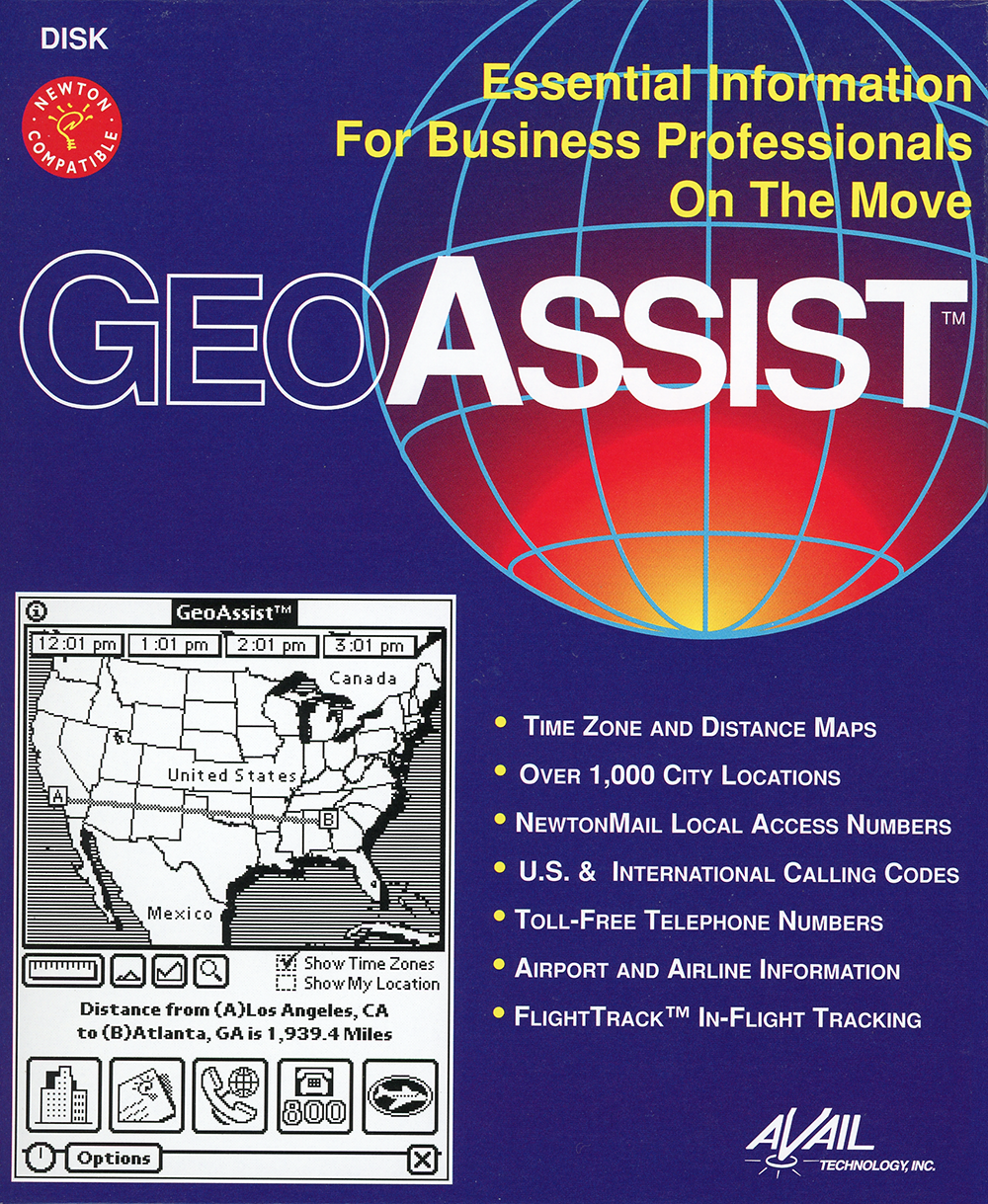
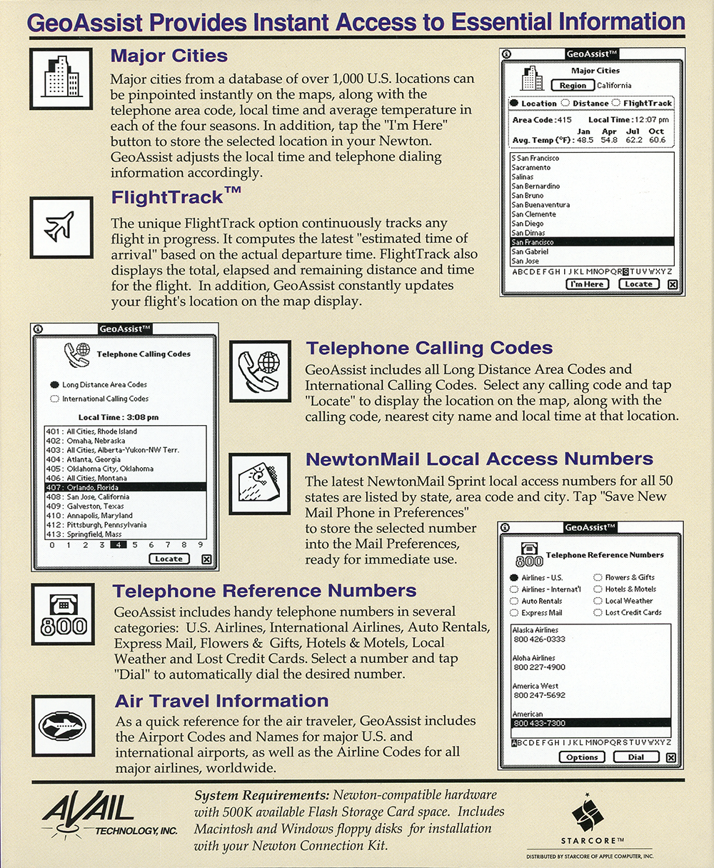
Essential information for business professionals on the move. GeoAssist provides instant access to essential information:
- Major cities
- FlightTrack
- Telephone calling codes
- NewtonMail Local Access Numbers
- Telephone reference numbers
- Air travel information
Were you involved with this artifact? If so, we would like to include your story on this page. Let us know how you contributed.
Artifact Details
Newton
Avail Technology, Inc.
United States
English
1994
Package includes Macintosh and Windows floppy disks.
1994
Acquired from Developer
2018-05-29
Organizations
History
GeoAssist was a mobile-reference application for the Apple Newton MessagePad developed by Avail Technology, Inc. and distributed by StarCore for Apple Computer, Inc.1 Packaged on floppy disk and labeled Newton Compatible, it was presented as a source of essential information for business professionals on the move, gathering travel, telephone, and location reference data into a single Newton title.1
The application centered on a database of over 1,000 U.S. city locations that could be pinpointed on time-zone and distance maps, each city carrying its telephone area code, local time, and average temperature in each of the four seasons.1 An "I'm Here" button stored a selected location on the Newton, after which GeoAssist adjusted the local time and telephone dialing information accordingly, and the maps could report point-to-point distances such as the 1,939.4 miles between Los Angeles and Atlanta.1
A FlightTrack feature continuously tracked a flight in progress, computing an estimated time of arrival from the actual departure time and displaying the total, elapsed, and remaining distance and time while updating the flight's position on the map.1 The program also carried all U.S. long-distance area codes and international calling codes, the latest NewtonMail Sprint local access numbers for all fifty states listed by state, area code, and city, and a directory of telephone reference numbers spanning airlines, auto rentals, express mail, hotels, local weather, and credit cards that could be dialed directly from the Newton.1
For air travelers, GeoAssist included airport codes and names for major U.S. and international airports along with airline codes for major carriers worldwide.1 The application required Newton-compatible hardware with 500K of available flash storage card space and shipped with Macintosh and Windows floppy disks for installation through the Newton Connection Kit.1
AI generated using primary sources referenced in the footnotes
Footnotes
- Avail Technology, Inc., Avail Technology - GeoAssist (Newton) (image scan), 1994
Oral History
Connections
This artifact's place in the wider network of people, organizations, and artifacts. Drag to pan, scroll to zoom, and tap any node to focus its connections.